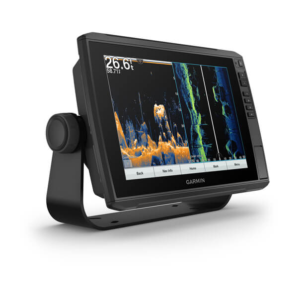
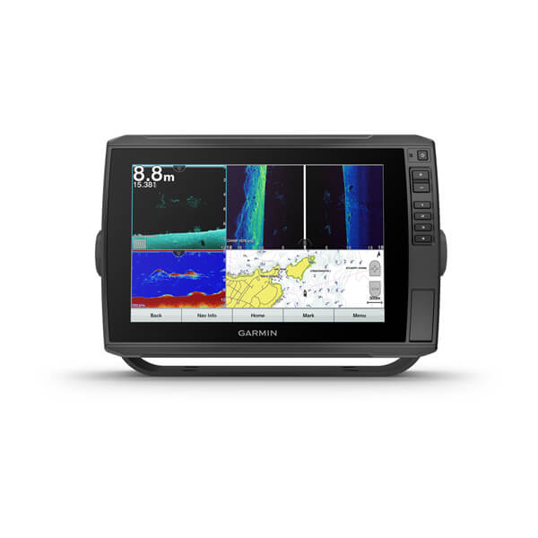
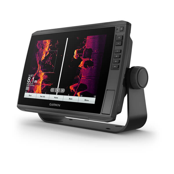
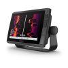
The combination of chartplotter and sonar with a sunlight-readable, 10-inch touchscreen features our global basemap. Adding to this the CHIRP traditional and Ultra High-Definition scanning sonars.
See structures and fish in sharp photos with stunning detail and explore your new favorite spot; create maps along the way and customize them to your liking.
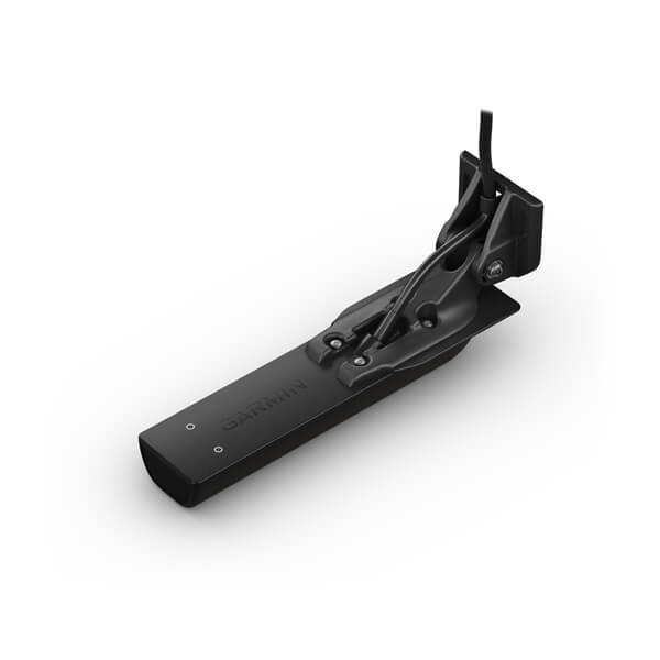
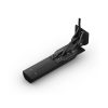
Includes transducer with built-in UHD Sonar
The included GT56 transducer provides traditional Garmin CHIRP sonar and Ultra High-Definition ClearVü and SideVü scanning sonars. With three scanning sonar frequencies and an extended 20% range for our UHD SideVü sonar, peak performance is achieved at all depths.
Vibrant Color Palettes
Vivid, high-contrast scanning sonar color palettes make it easier than ever to distinguish targets and structures.
Livescope Sonar support
ECHOMAP Ultra 102sv supports a variety of Garmin transducers, including Panoptix™ all-seeing sonar transducers and the Panoptix Livescope™ LVS12 scanning sonar system (sold separately).
Add cards
Experience unparalleled coverage and detail with optional BlueChart g3 Vision Coastal Charts with integrated Garmin and Navionics content.
quick draw controls
Create personalized fishing maps with a circumference of 0.3 meters on the screen. Keep the data for your own use or share it with the Garmin QuickDraw community on the Garmin Connect app.
Specifications:
General
|
| PHYSICAL DIMENSIONS |
29.5 x 19.5 x 9.8 cm (11.6 x 7.7 x 3.9 in.) |
| SCREEN SIZE, WXH |
21.7 x 13.6 cm; 25.4 cm diagonal (8.5 x 5.4 in.; 10 in. diagonal) |
| SCREEN RESOLUTION, BXH |
1280 x 800 pixels |
| SCREEN TYPE |
WXGA screen |
| WEIGHT |
1.8kg (4.0lbs) |
| WATER RESISTANCE |
IPX7 |
| MOUNTING OPTIONS |
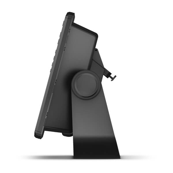
Bracket or recessed |
| POLARIZED SUPPORT |
✓ |
| POWER CONSUMPTION |
26 W |
| ANTENNA |
Internal or external via NMEA 2000 |
| TRANSMISSION POWER |
600W (RMS)/4000W (peak-to-peak) |
| RECEIVER |
10 Hz |
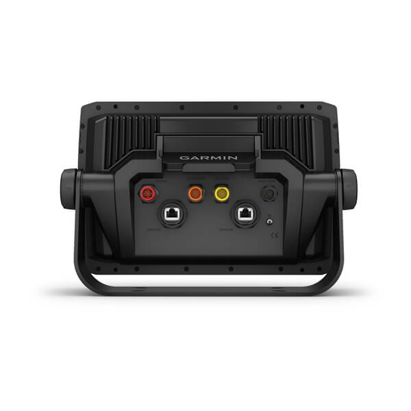
| GARMIN MARINE NETWORK™ PORTS |
2 (large connector) |
|
|
Cards and Memory
|
| SUITABLE FOR DATA CARDS |
2 microSD™ cards |
| WAYPOINTS |
5000 |
| RAIL LOG |
50,000 points, 50 saved tracks |
| ROUTES |
100 |
Outdoor Recreation Features
|
| TIDE TABLES |
✓ |
Sonar Features and Specifications
|
| SUITABLE FOR DUAL-FREQUENCY ECHO SOUND |
✓ |
| SUITABLE FOR DUAL-BEAM ECHO SOUND |
✓ |
| FREQUENCIES SUPPORTED |
- Chirp High Wide: 150-240 kHz
- Ultra High Definition ClearVü: 800 kHz (760-880 kHz)
- CHIRP ClearVü: 455 kHz (425-845 kHz)
- Ultra High Definition SideVü: 1200 kHz (1060-1170 kHz)
|
| CLEARVÜ |
Yes, with CHIRP (built-in) |
| MAXIMUM DEPTH |
700 m (2300 ft.) at 77 kHz, freshwater, 335 m (1100 ft.) at 77 kHz, saltwater (maximum depth varies with bottom type and other water conditions) |
| SOIL SOLID (INDICATES YIELD FROM SOIL) |
✓ |
| WATER TEMPERATURE LOG AND MAP |
✓ |
| SONAR RECORDING |
✓ |
| SONAR HISTORY REWIND |
|
|
Chartplotter Features
|
| COMPATIBLE WITH GARMIN ECHO SOUNDER |
✓ |
| SUPPORT FOR AIS (KEEPS SHIP POSITION) |
✓ |
| DSC SUPPORT (DISPLAYS POSITION DATA COMING FROM A DSC-equipped VHF RADIO) |
✓ |
| SUPPORTS FUSION LINK™ COMPATIBLE RADIOS |
✓ |
| GCV™ BLACK BOX SOUNDER SUPPORT |
✓ |
| COMPATIBLE WITH ACTIVECAPTAIN |
✓ |
|
|
Connections
|
| COMPATIBLE WITH NMEA 2000® |
✓ |
| TRANSDUCERPIN NUMBERS |
1 – LVS sonar, 1 – 12 pin scanning sonar |
| NMEA 0183 . INPUT PORTS |
1 |
| OUTPUT PORTS OF THE NMEA 0183 |
1 |
| WIRELESS CONNECTIVITY |
✓ |
|
|
Please read before using this product the manual.





Reviews